Saturday, 5 November 2011

A boat about to come out


Anchors Away


Its gonna be a wet one

Landing gear down.....

Wing Nuts

Here's looking at you kid

syncronised swimmers

Just dropping in...

Reflections of red


My favorite

 all roped in


Das boat club

Captain pulling his ship

Haul and launch berth

Getting into position

Reverse thrusters

Minor adjustments

On the launch and lift pad

Ok- matey take errr up.....

In the Sling

Next stop ground level

Up  up and away

She's showing her bottom side

Airbourne


High and Dry

On the fly

On the hard

 Kevin the yard master


Intense concentration

Mission accomplished

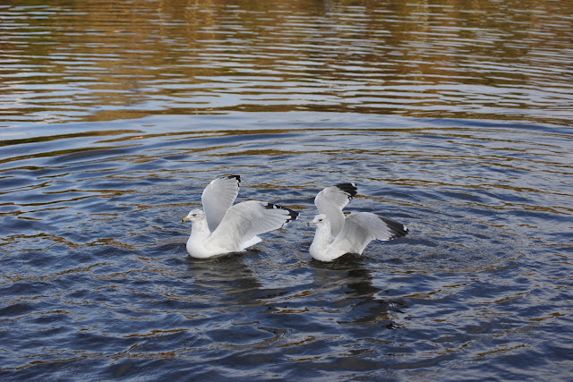
Bath Time

Broke back duck

Strutting his stuff

Prinping and fluffing


Mighty Duck
 

Friday, 28 October 2011

Our last sail of the season-Off to Marble Cove to store boat for the winter.

Saint John Power Boat Club 
The Saint John Power Boat Club is located in Marble Cove, Saint John, New Brunswick Canada, Aprox 10 min. at 5 knots  – “Up-Stream” - From the Reversing Falls.
Location: 45° 16´ N., 66° 05´ W.
 A buoyed channel about 40 feet (12 m) wide and dredged to a depth of about 7 feet (2.1 m) runs along the north shore of Marble Cove between ruined wharves and a boat mooring facility on the north side, and a row of private red buoys on the south side.

Marble Cove,New Brunswick
The Saint John Power Boat Club is located in the NE corner of Marble Cove. There are about 60 berths alongside the wharves, visitors and those who are waiting for slack water at the Reversing Falls are welcome and a berth will be made available upon request

Leaving Gondola Point.....

All  bundled up in winter gear


Eric and  Linda-Happy Sailors

Hot Tea on its way...

The Cabin Boy ! Tee hee hee

Milledgeville Ferry

Indian and  Goat Island
Goat Island is an island in New Brunswick, Canada. The nearest places to Goat Island are Indian Island (400 meters south), The Brothers 18 (500 meters south), Tucker Park Beach (900 meters northeast), Burnt Island (1100 meters northeast), and The Brothers (1½ km south).


The RKYC Marina can accommodate over 150 boats of varying sizes. A, B and C docks are the main docks located in the cove surrounded by the breakwater. C is the closest to shore. A runs parallel to the breakwater and B runs straight down the middle of the two

Millidgeville is situated on the northern edge of the city, on Brothers Cove off the Kennebecasis River at the point where that westerly flowing river meets the southerly flowing Saint John River

Summerville lighthouse
The wooden McColgan Point Lighthouse was constructed in 1913  to guide vessels along the narrow channel that runs between Kennebecasis Island and the Kingston Peninsula. The square tower with sloping sides was originally equipped with a sixth-order dioptric lens, and Samuel McColgan served as the first keeper of the light. Built at the same time as nearby Bayswater Lighthouse, McColgan Point Lighthouse and Bayswater Lighthouse were the last two official lights established along the St. John River.

Ragged Point rocky shoreline

Choppy waters

Ragged Point
Ragged Point Cove is a cove in New Brunswick, Canada. The nearest places to Ragged Point Cove are Ragged Point, Boars Head Beach, The Brothers (1½ km east), Den Boom Cove (1½ km east), and The Brothers 18 (2 km northeast

Rugged cliffs

approaching the Narrows

Saint John Marina-Pulling out party barge

Swift Point Lighthouse
 Swift Point Light was one of six beacons erected in 1869 along the Saint John River between Fredericton and Saint John.  The original Saint John River Lights were placed in operation on August 20, 1869, with John Nelson Williams serving as the first keeper at Swift Point.
A new lighthouse has been erected at Green Head, 24 feet east of the site formerly occupied by the old light on a mast, which is now discontinued. The lighthouse is a white, square wooden building 50 feet high, situated 105 feet above high water mark. The illuminating apparatus is dioptric, the light being fixed white, elevated 150 feet above the surface of the water and visible 10 miles from all points of approach by water.
The pressed lens used in the tower was replaced with a seventh-order dioptric lens in 1899. In 1900, a hand foghorn was given to Keeper Thomas E. Looney at Swift Point to be sounded whenever the fog signals of vessels were heard in the vicinity of the station. A mechanical fog bell, installed . Swift Point Lighthouse works in tandem with Sand Point Lighthouse to guide vessels along the Saint John River and locate the narrow entrance to the Reversing Falls section, an area of often confusing tributaries, bays, and islands.

Entering The Narrows

Weathered and wrinkled cut rocks

 Power Boat Club


Mallard duck named Baba Chia 

Our Boat-SHACKLETON

More bread please...

Duck named Millie

Boats and pulp mill in background